Decisions, decisions…
We left quite early in the morning again. Because of the conditions of the highway (a more pleasant slope and good tarmac but dangerous traffic with trucks and buses) we decided to follow a smaller parallel route to the village of Matucana.
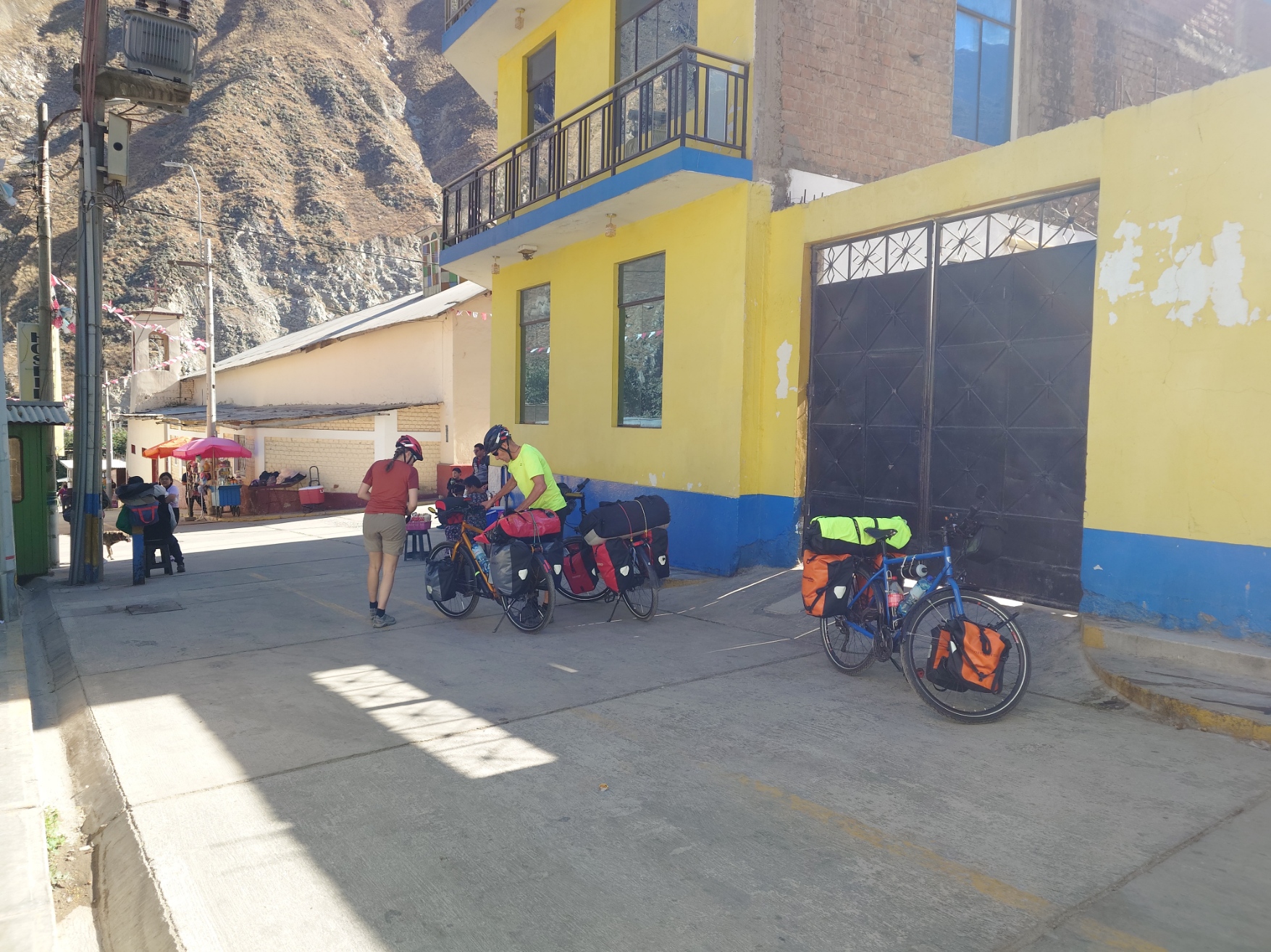
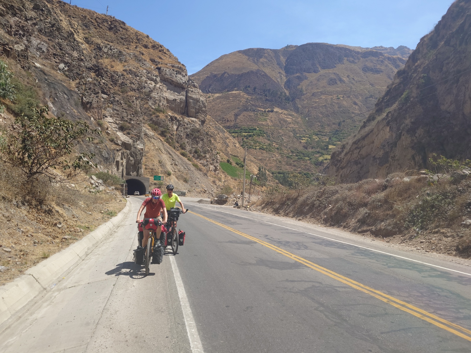
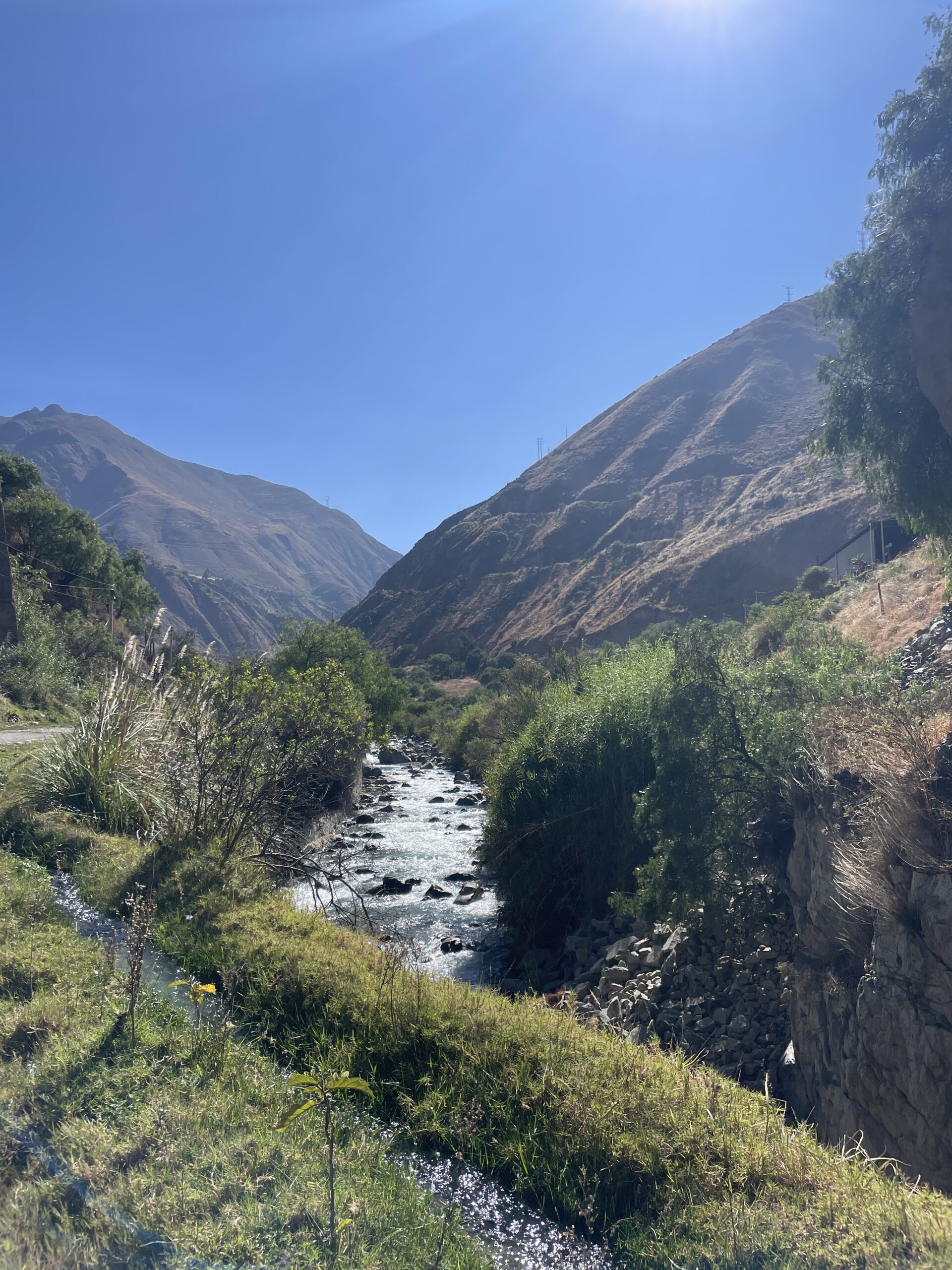
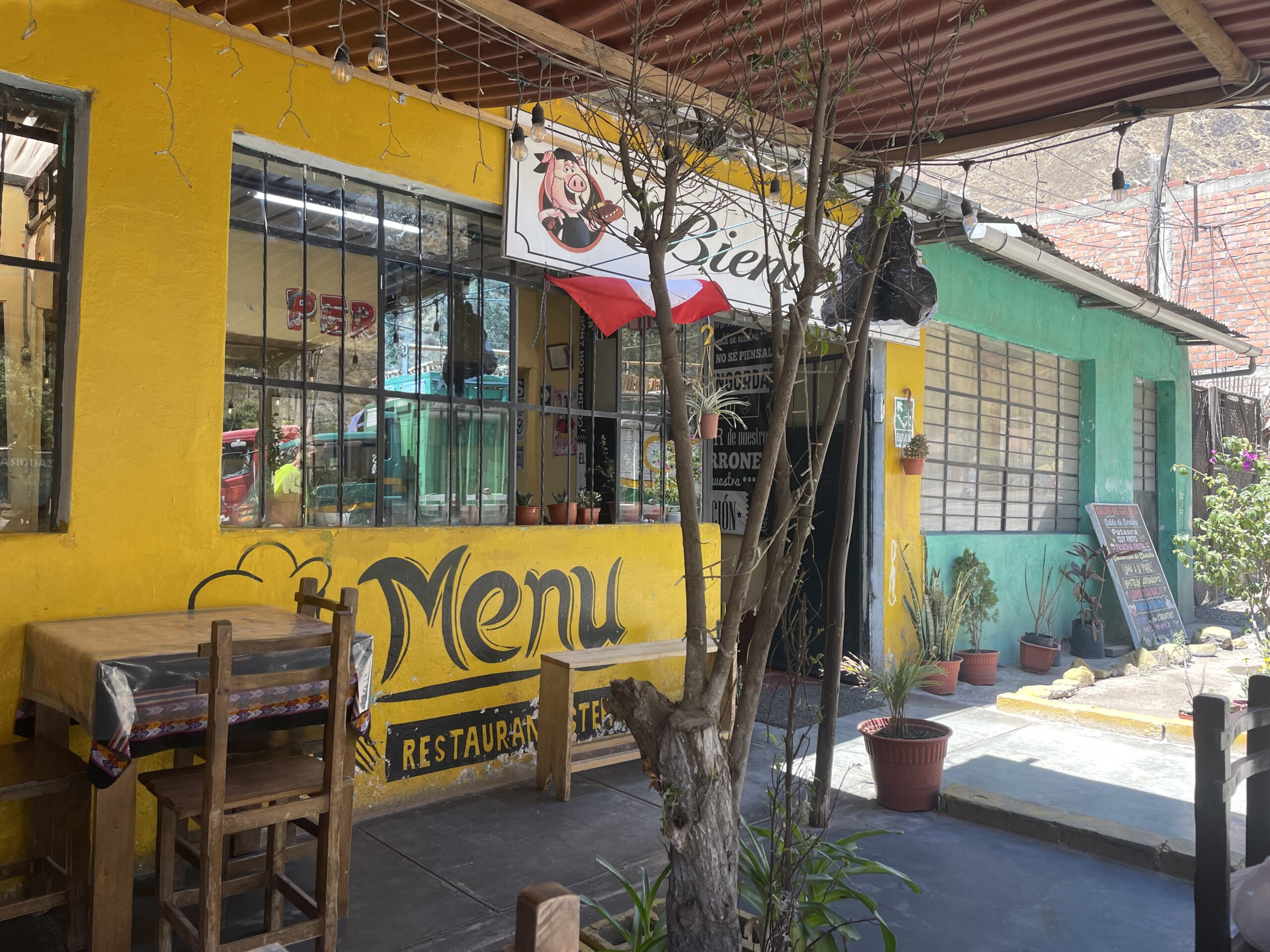
Needless to say that this road was not paved unfortunately. The gravel made it harder to cycle especially uphill and it was a bit more bumpy, but the relative calm and the pleasant views we had along the way made the decision to take this 10 km route worth it. We had to make several stops along the way though, because once again the air was starting to get thinner and thinner. In Matucana we paused for a larger period of time. We did some groceries and had a warm lunch.
After we proceeded, however, cycling became harder and harder as the air thinned further and the road steepened slightly. Our discomfort wasn’t helped by the fact that we had to pass through two tunnels which was quite scary with the darkness and traffic. At some point we looked for places to sleep along the path but we found nothing that we felt comfortable with in terms of safety. Therefore, we decided to continue cycling despite being exhausted. We found no other possible campsites but to San Mateo it would have been another 10.6 km and 470 m of elevation left to cycle.
Convinced that we would not be able to physically manage that, we stopped along the road at a small house along the river with a large pick-up truck in front of it. Although the owners seemed less than enthusiastic to see or help us, they agreed to drive us and our bikes to San Mateo for a small fee. It was a surprisingly long and curvy climb and all of us agreed that we would have not been able to cycle all of that that day.
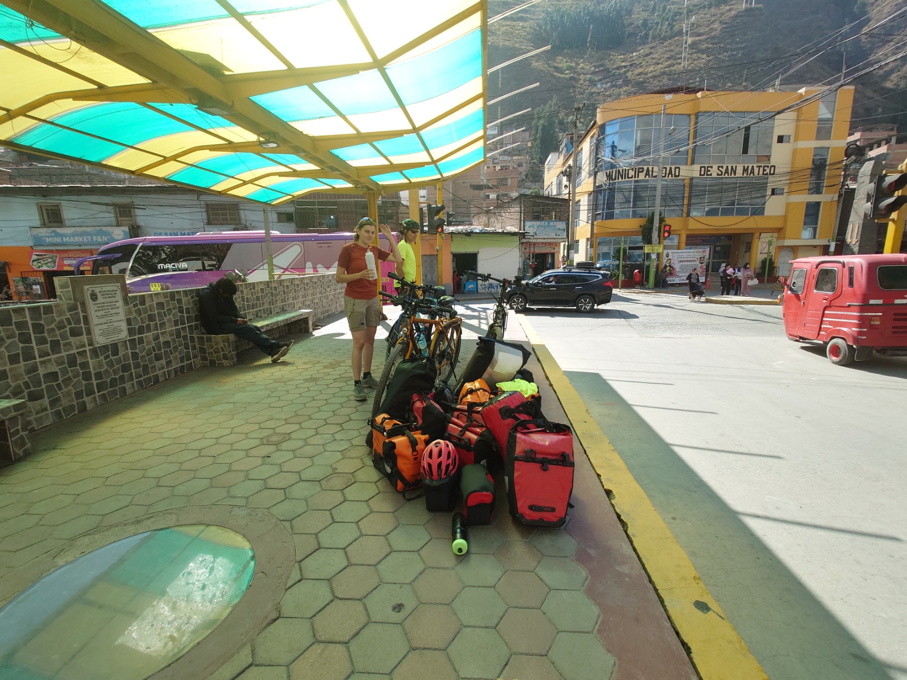
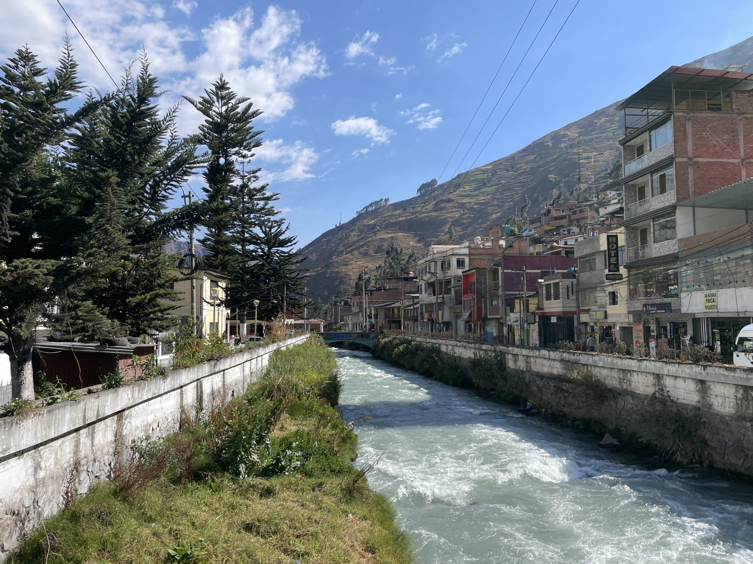
Once in San Mateo, we noticed two things: that we suffered from symptoms of altitude sickness and that there was a ravaging wildfire that spread across the slopes right next to the town. The valley was full of smoke and worried citizens were talking to the police about the fires.
Due to the elevation and lack of campsites we decided to stay two nights to get used to the altitude. On our search for hostels, ironically the one we liked best was closest to the fires, something we were a bit unsettled by but two Spaniards who were there on a business trip assured us that all locals expected the fire not to reach the city due to the direction of the wind. Although the fire continued to creep down towards the town to a point, where we could hear and see the fire crackling only 50 m away from us (which got us worried) the locals were proven right when the wind truly ended up shifting the fire away from San Mateo and our hostel before we went to sleep.
distance cycled: 18 km
elevation gain: 1,070 m (of which 600 m cycled)
Actual altitude: 3150 m
time cycled: 2.5 h
PS: We read your comments and appreciate every single one of them! It’s great that you are following our journey with such enthusiasm. Your comments motivate us to keep reporting.
I think I found San Mateo on Google Earth. It is great to follow you and see on Google Earth where you are. But sometimes GE gives a district on the name you write. But it is heavy I read. But you can do it 🙂
Hopelijk gaat het wat beter met de hoogteziekte en de darmklachten. Jullie zien wel fantastische landschappen, heel bijzonder mooi. Gelukkig alles rustig aan, beterschap en succes
Een mooie reis toegewenst, voorzichtig aan en rustig genieten💝